Monday, February 06, 2006

BORDESLEY to ASTON ACHING-ANKLE TOUR 6th February 2006.

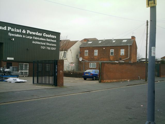
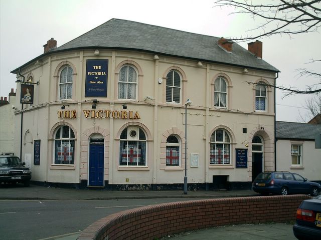
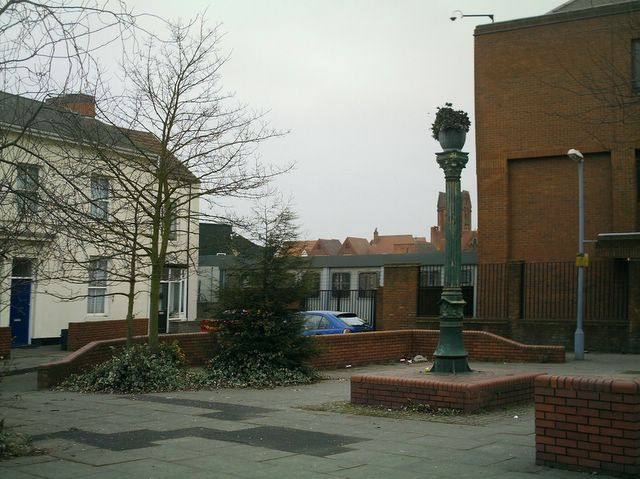
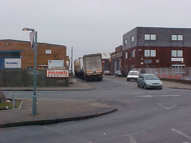
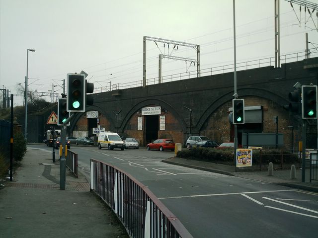
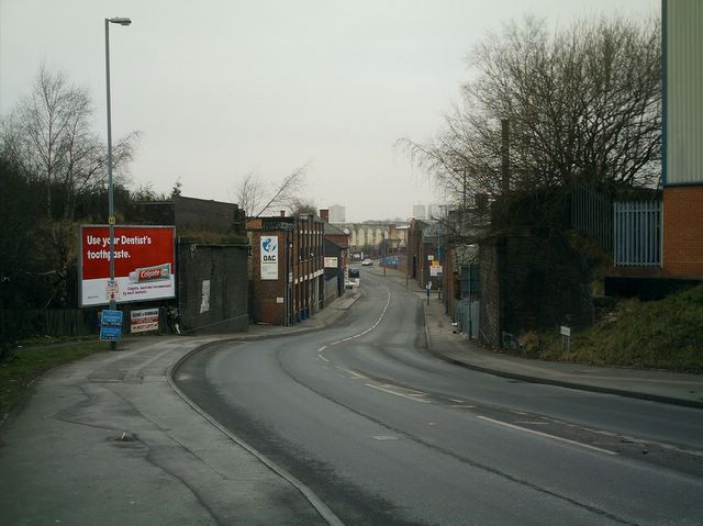
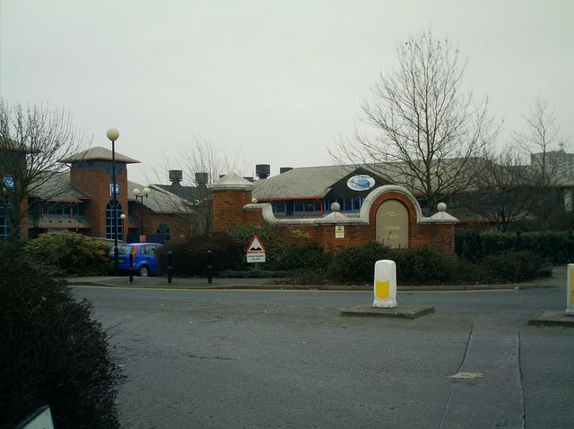
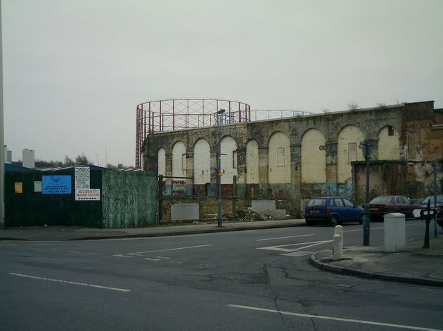
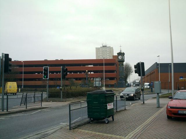
Todays walkabout started from Green Lane/Victoria Street where I got off the 17 bus from the Radleys. From there I walked along Green Lane, up Prince Albert Sreet, along Bordesley Green, a bit of Cattell Road, then Garrison Lane, Lawley Middleway, Vauxhall Road, Barrack Street, Francis Street, Nechells Parkway, Verbena Gardens, Hyssop Close, Rupert Street, Walter Street, Rocky Lane, Park Lane, Upper Sutton Street, a tiny bit of Tower Road, then back down Upper Sutton Street and Park Lane to Lichfield Road. Hence the title "Aching-Ankle", and I had shopping to do afterwards!!
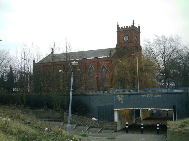
There were some areas I had a particular interest in, notably the sites of Bordesley Green Methodist Church, my old house in Cattell Road, the area where the Church of St James the Lesser was (Barrack Street I think) and St Matthews Church. I was also interested in following up a request to see what was left of Tower Road. Here are the best of the photographs I took on the way.

The top of Prince Albert Street:- Bordesley Green Methodist Church used to be over there somewhere. That is where my parents married and where I was Christened.

The Victoria on the corner of Bordesley Green and Prince Albert Street.

A little bit of Little Green Lane.

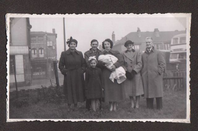
Part of todays excursion was for my benefit so you will have to indulge me here. This is me on my Christening day, with my parents, some of my grandparents, and a friend. I was Christened at Bordesley Green Methodist Church. The photograph was taken in November 1952 in the back garden of 102 Cattell Road. On the left of the picture you can just see the Atlas Inn. Behind that is Garrison Lane. The street going off behind the group is Doris Road. The bus is appearing from Bordesley Green (if that is what it was called then). I, my parents and my mothers parents all lived at the house. To get to the toilet we had to pass through our back garden, turn right and walk along past a small row of houses to the toilet/shed at the end.

From a position on the pavement approximately outside where our back garden could have been. Cattell Road at the front. Garrison Lane to the left. Bordesley Green to the right. Doris Road going off straight ahead. The pub and the shops have all gone.

In the old days, we would have looked out of our front window at the Atlas Inn.

My old house used to be over there somewhere.

Another view.

Looking towards the city along Garrison Lane from near Doris Road.

The Sportsman, Towpath Close going off to the right.

The Grand Union Canal, looking north-east from Garrison Lane.

.. and the view across the road.

The Garrison Public House on the corner of Witton Street.

Looking along Landor Street from Lawley Middleway.

Still on Lawley Middleway, there are railways everywhere.

A shot down Barrack Street towards Vauxhall Road.

.. and from the other side of the road, outside Heneage Place.

St Matthews Church. This place has a lot of family connections for me; 4 births*, 2 marriages and a burial at the last count. I may make a film about it. The most recent was my grandparents marriage in 1924.
(* well Christenings actually).

The top end of Barrack Street.

St Matthews Church from the far side of Nechells Parkway.

Looking down Rocky Lane from near the end of Rupert Street. The following photo was taken from by the lamp-post on the left.

Looking back on myself, this intriguing path leads back to another section of Rocky Lane and then to Bloomsbury Street. It must be the original part of Rocky Lane before it was diverted to become Walter Street and meet Thimble Mill Lane.

Another view down Rocky Lane, Cheston Road going off to the right.

The Birmingham & Fazeley canal from Rocky Lane, looking north-east.

Now two photographs taken from the same spot on Rocky Lane, facing back towards Nechells. On this side of the road Aston Cross Business Park...

...and on the other side of the road.

Approaching Aston Cross, to the left is Aston Road North, to the right Lichfield Road and straight on Park Lane. The tower block in the distance is Sapphire House, obviously a jewel of local architecture.

Aston Cross with it's famous clock.

O'Reilly's Hotel tempts me but despite being rather tired and very thirsty I desist. The old Public Library is to the left.

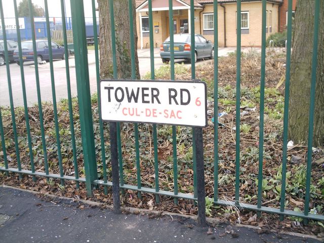
THE TOWER ROAD TOUR.

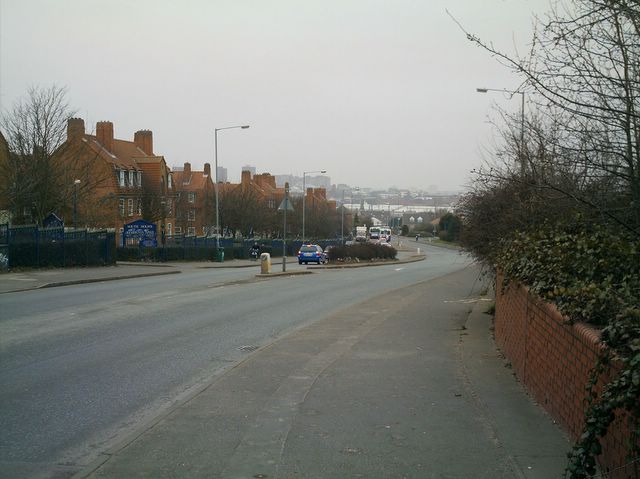
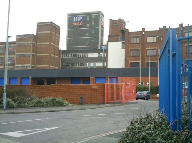
Continuing my walkabout of the area, I left Aston Cross, walked up Park Lane, turned right into Upper Sutton Street and walked along until I came to Tower Road. Actually Tower Road has been chopped in half by the Aston Expressway, one side has been swallowed by the HP Sauce factory, the other has been largely overrun by a school. On the map there are now two Tower Roads... (and excuse me but I just can't help myself here).. it's The Two Towers again!! I then walked back to Aston Cross.
Any road, here are the results.

At last, Tower Road, or at least a bit of it. This is the western end and it is now just a small cul-de-sac which then becomes a school playground. As it is play-time,I cannot take any photos of the school.

Going back down Park Lane towards Aston Cross, the HP Sauce factory on the left (taken from the corner of Thomas Road).

Looking East along the Aston Expressway. To the left the school, to the right the HP factory. And on each side a little bit of Tower Road!

Looking along the expressway towards the city centre.

Lichfield Road and the front of the HP factory. The entrance driveway is actually Tower Road. Just in case you think I've mentioned HP too often, I actually prefer the stuff made by Lee and Perrins.

The other end of Tower Road from the far side of Lichfield Road. To the right is a very large Mercedes car showroom with posters proclaiming "Nil deposit!". Great cars, still can't even afford the deposit.

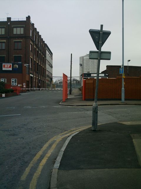
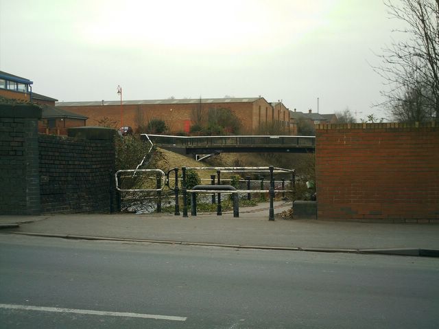
Finally,a close look at the Eastern end. Straight ahead is (was) Tower Road. Sweeping off to the right is Park Road.
Mission over, I crossed back over to the other side of Lichfield Road and got on a 67 bus.. a bendy-bus and a new experience for me, you can see the driver through the window when you go round corners.